
Buyer Guide
The Bankston Group
Land & Investing
Land & Investing
How to check a Texas lot or acreage for flood risk before you buy: FEMA flood maps, local floodplain rules, and why a land seller may not disclose it.
Start with FEMA's Flood Map Service Center at msc.fema.gov, which FEMA calls the official public source for flood maps. Search the address, find the parcel, and check whether any part of it falls in a zone beginning with A or V, which FEMA treats as high risk. Then check with the city or county, because local floodplain rules can reach beyond FEMA's lines. And on many land purchases in Texas, no one is required to hand you this information, so plan to do the checking yourself before your option or feasibility period ends.
Flood risk is one of the first things I look at on any piece of land a client is considering. It's also one of the things buyers most often assume someone else already checked.
Texas Property Code Section 5.008 requires most sellers of a home to give the buyer a written disclosure notice. That notice asks whether the property is wholly or partly in a 100-year floodplain, a 500-year floodplain, a floodway, a flood pool or a reservoir, and whether there has been previous flooding.
The same statute lists transfers it doesn't apply to. Two of them matter for land and investment buyers:
So on raw land, on acreage with an older structure that isn't really what you're paying for, or on a brand-new build, the form many buyers rely on may never show up. "The seller didn't mention it" is not the same thing as "there's no flood risk."
If you see a floodway on the parcel, slow down. In Fort Worth, for example, grading or structures in a floodway have to show no rise in the base flood elevation or get FEMA approval of the change first.
Financing and insurance. In communities that participate in the National Flood Insurance Program, owners of buildings in high-risk zones who have a mortgage from a federally regulated or insured lender are required to buy flood insurance. If you're building to sell or to rent, that cost belongs in your future buyer's or tenant's math, which means it belongs in yours.
Building. Development in a regulatory floodplain usually needs a floodplain development permit from the city. Fort Worth's current rules are a good example of what that can involve:
Each of those can add engineering, survey work, fill and time before you ever pour a foundation.
Map changes. FEMA has a process to correct or revise a flood map. A Letter of Map Amendment (LOMA) addresses a building, lot or part of a property that was inadvertently included in the high-risk area. A Letter of Map Revision (LOMR) officially revises the map based on technical data. Both are real options. I'd still never underwrite a purchase on a map change you don't have yet.
FEMA's map is the federal baseline, not always the local one. Fort Worth's City Flood Risk Areas cover places outside FEMA and city regulatory floodplains. Since July 15, 2024, development under one acre in one of those areas has had to elevate structures two feet above the 100-year flood elevation and include an engineer's certificate that it won't increase flood risk to neighboring properties.
Fort Worth also offers OneAddress, which shows whether a property falls within a regulatory floodplain, and a Stormwater Download Viewer where the public can find drainage studies, flood studies, permits and elevation certificates. Other cities in Dallas–Fort Worth have their own floodplain administrators. A short call to the right office before you sign can tell you more than an afternoon of guessing.
Under Texas Property Code Section 92.0135, a landlord has to give a tenant written notice of whether the landlord is aware the dwelling is in a 100-year floodplain, and, if the landlord knows flooding damaged the dwelling in the past five years, a notice about that too. A 2025 law adjusted how those notices can be delivered and exempted some short-term and sale-related tenancies. Either way, a rental's flood status becomes part of every lease you sign, so ask for the property's flood history and insurance history before you buy it.
When a client finds a piece of land they love, I pull up the flood map with them before we talk about house plans. Then I ask one question: where would the house actually sit, and where would the water go? From there, the steps are usually the same. A survey that shows where the floodplain line falls. A conversation with the city's floodplain office. An engineer if any part of the building site is in an A zone. An insurance quote before the option period ends, not after.
From a design perspective, a lot that's partly in the floodplain isn't automatically a bad lot. Sometimes the low ground becomes the view, the trees and the privacy, and the house sits comfortably on the high side. What matters is knowing that before you price it, not discovering it during permitting.
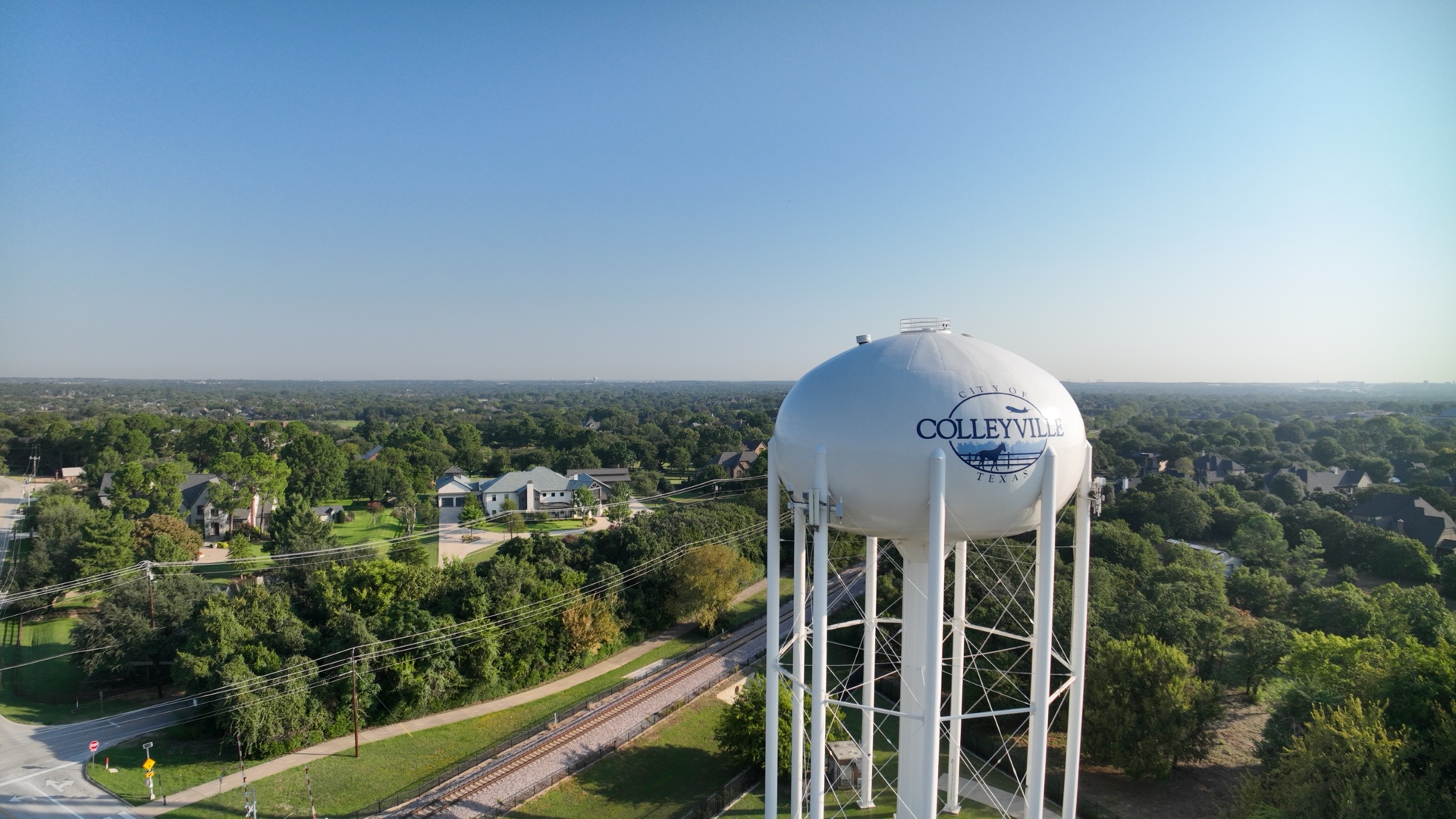
If you're comparing land to build on, my build-on-your-lot roadmap walks through the rest of the due diligence, and you'll find more for land and income property buyers on our Investors page and our Fort Worth city page. For a look at how one land market has changed, see how the Colleyville land market rewrote the rules.
If you've found a lot you love anywhere in Dallas–Fort Worth, let's investigate what you can actually do with it before you make the decision. Send me the address and I'll help you figure out what deserves a closer look.
— Katie Bankston, Principal, The Bankston Group at The Agency Dallas
FEMA's Flood Map Service Center at msc.fema.gov, which FEMA describes as the official public source for flood maps. Many cities, including Fort Worth, also have their own lookup tools and floodplain staff.
Texas Property Code Section 5.008 requires a flood-related disclosure from most home sellers, but it doesn't apply to land where any dwelling is worth no more than 5% of the property's total value, or to a new home that has never been occupied. On land, plan to do your own research.
It's the area FEMA expects to be covered by a flood that has a 1% chance of happening in any given year. It doesn't mean a flood happens once every hundred years.
The federal requirement applies to buildings in high-risk zones, in participating communities, with a mortgage from a federally regulated or insured lender. So it usually comes into play once there's a structure and a loan. Your lender and insurance agent can tell you what applies to your property.
Sometimes. FEMA issues a Letter of Map Amendment when a building, lot or part of a property was inadvertently included in the high-risk area, and a Letter of Map Revision when technical data supports revising the map. Both take documentation and time.
This article is general information, not financial or legal advice. Flood maps and local floodplain rules change; confirm current requirements with FEMA, the city or county, a licensed surveyor or engineer, and your lender and insurance agent. Financing and insurance requirements are subject to lender approval and loan program guidelines. The Bankston Group is a team at The Agency Dallas.

Principal, The Bankston Group at The Agency Dallas
Katie helps buyers, sellers, builders and developers across Dallas–Fort Worth, with a focus on new construction, custom homes and land.